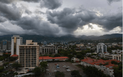

KINGSTON, Jamaica — The Meteorological Service of Jamaica has issued a flash flood watch for low-lying and flood-prone areas of Westmoreland, St Elizabeth, Manchester, Clarendon, St Catherine, St Thomas, and the Corporate Area of Kingston and St Andrew.
The watch took effect immediately on Monday and remains in force until 5:00 p.m. on Wednesday, June 10, 2026.
According to the Met Service, an active tropical wave moving across the island is interacting with an upper-level trough, creating unstable weather conditions that are expected to persist through late Wednesday afternoon.
Forecasters say periods of showers and thunderstorms, some of which could be heavy, are expected to affect much of the island, with southern parishes likely to experience the greatest impact. Strong gusty winds are also forecast, particularly along southern coastal areas and offshore waters.
Marine interests, including fishers operating along the south coast, are being urged to exercise extreme caution as sea conditions are expected to deteriorate in the vicinity of thunderstorms and strong winds.
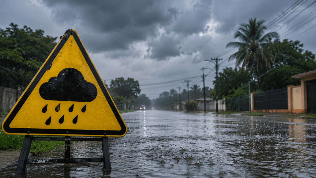
A flash flood watch means that flash flooding is possible. Residents living in vulnerable areas are encouraged to monitor weather updates, take necessary precautions, and be prepared to act quickly if flooding develops or if a flash flood warning is issued.
The Meteorological Service says it will continue to closely monitor the weather system and provide updates as conditions evolve.
Caribbean on Alert for Rising Temperatures and Declining Rainfall