Google Earth search leads to colonial ruins and Old Pera windmill in St. Thomas
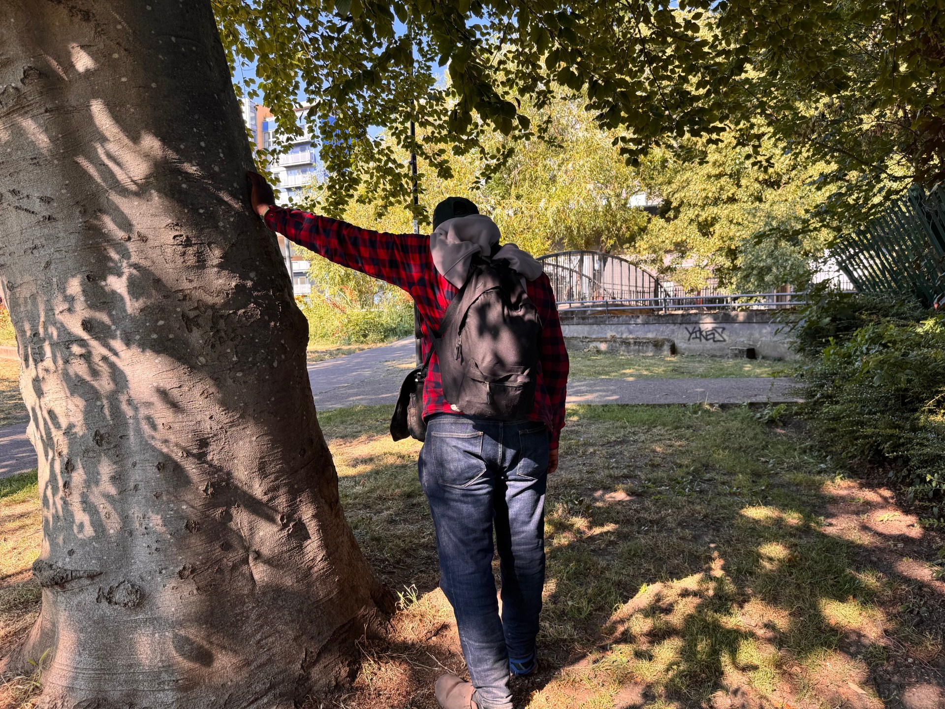
A Jamaican heritage explorer used Google Earth to track down a little-documented ruin in St. Thomas, then walked through Bowden and Old Pera to examine a colonial-era building and the old plantation windmill tower linked to sugar production.
The journey began after satellite images showed an unusual structure near Old Pera. The host said searches of old maps and slave registers did not immediately explain the site. He later suggested the building may have been connected to Bowden estate rather than Old Pera, but said further research was needed.
Bowden, near Port Morant, was described as a small coastal community that once served sugar and banana trade. During the colonial period, the area supported the Golden Grove estate. After emancipation, it shifted toward smaller farming and local commerce.
At the first ruin, the explorer noted thick stone walls, brickwork around arches and doorways, pipe fittings, tiled areas, a well, possible basement space and what appeared to be an old boiler. He said the construction looked English rather than Spanish, while also pointing to reused or later brickwork and calling the building an expensive structure for its time.
The video also placed Old Pera in the history of British Jamaica. It said England captured Jamaica from Spain in 1655 and that Sir Thomas Lynch, a former governor of Jamaica, received land in eastern Jamaica in 1682, including lands associated with Pera Estate. Lynch died in 1684.
By the 1700s, Pera was presented as a working sugar estate. The narration said similar estates may have held 150 to 300 enslaved Africans at their peak, with unpaid labour used to cut cane, move loads, work boiling houses and operate dangerous machinery.
Around 1780, the estate reportedly built the large stone windmill that remains at Old Pera. After several attempts through bush and rough access, the explorer reached the tower, showing its interior, high walls and openings where the windmill arms would have turned.
The account ended by linking the ruins to Jamaica’s plantation past, emancipation in 1838, the decline of sugar estates and the people whose labour shaped the land.
Syndicated from Elite Jamaica (Video) · originally published .
Legal context · powered by Jurifi
Get the legal angle on this story. Pick a prompt and Jurifi's AI will explain it using Jamaican law.
AI replies are based on Jamaican law via Jurifi. Not legal advice.